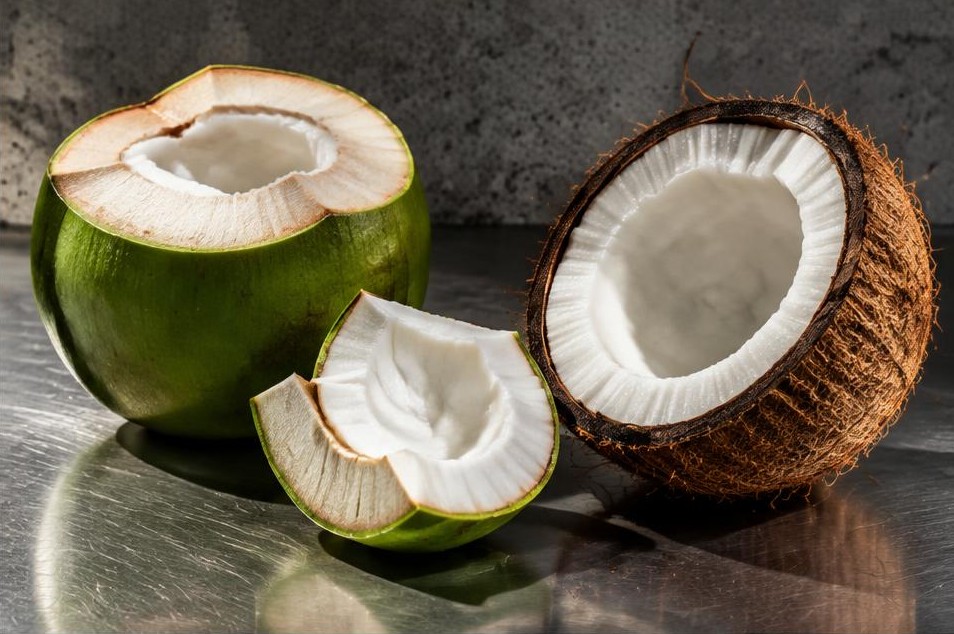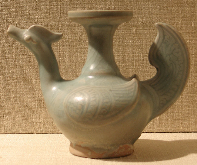
Start on the public waterfront near Nathon Pier, on Samui’s west coast. Ships once stopped here for fresh water and provisions. Hainanese settlers shipped coconuts from this shore to China. When you turn inland, you are following the path of a trading town whose front door faced the water. For a short walk, mark the pier, Ang Thong Road and the Nathon Hainanese shrine, ศาลเจ้าไหหลำหน้าทอน, on your map before setting out. [1, 2]
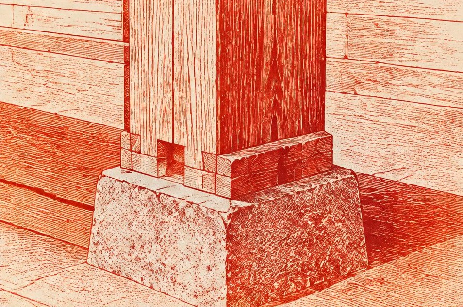
On Ang Thong Road, look down. In a study of the district, architecture researcher Chompunute Kongpoonpin documented rows of timber shophouses with masonry at the foot of their wooden posts. The raised footing helped protect the timber from standing water. At eye level a post might look like any other post. Its bottom few centimetres explain something about what it took to keep a shop standing on this coast. Where a footing is visible from the public way, follow the post up to the covered passage it supports. 1
Now look above the goods on display. The researcher recorded carved wooden ventilation panels, with Chinese influences in their patterns. The provincial guide singles out the folding doors of the middle trading street. Imagine those doors folded back at the beginning of the day and closed across the same frontage at night. Two storeys could accommodate both a household and a business. A timber screen, a folding panel and a sheltered strip of pavement make more sense once you picture the jobs they had to do. [1, 2]
The survey is worth opening on a phone. Figure 9 shows features of the old market buildings. Use it like a set of drawings to compare against what you can see today. Even an ordinary repair is interesting. Where has someone changed a material, kept an opening, or found another way to shade a door? You can do all of this from outside. Leave the upper floors and rooms behind the counters to the people who use them. 1
At the Hainanese shrine, leave the timings to the people using it. Kongpoonpin’s work with residents recorded beliefs, celebrations and family stories alongside the buildings. If you find a closed door, the walk still works. Return towards the water by the market streets and stop wherever you feel like ordering a drink. Thailand’s public heritage register places the old settlement at 9.53536° N, 99.93606° E, a useful reference if your map offers several places called Nathon. [1, 2, 3]
On the way back, find one post where timber meets masonry and look at it again. You can read a little of the island’s history there, even with the shutters closed.
- Chompunute Kongpoonpin, Development of Living Museum in Nathon Area, Samui Island, with maps, photographs and measured drawings of the shophouses
- Surat Thani Provincial Administrative Organization, provincial guide in Thai, entry 151 on Nathon’s three old streets
- Thailand’s Office of Natural Resources and Environmental Policy and Planning, Ban Nathon cultural heritage record